Featured research system · 2025–2026
GPS-Free UAV Navigation
A lightweight navigation and state-estimation pipeline for quadrotors operating without GPS or external localization during runtime.
60+ Hz reported real-time frequency
75–80% position RMSE reduction vs. FPC
25–30% computation-time reduction vs. FPC
Why this mattered
Visual-inertial pipelines depend heavily on feature quality. Dense or unstable features increase computation and can amplify drift, while heavy learned detectors are difficult to deploy on resource-constrained aerial platforms.
How I approached it
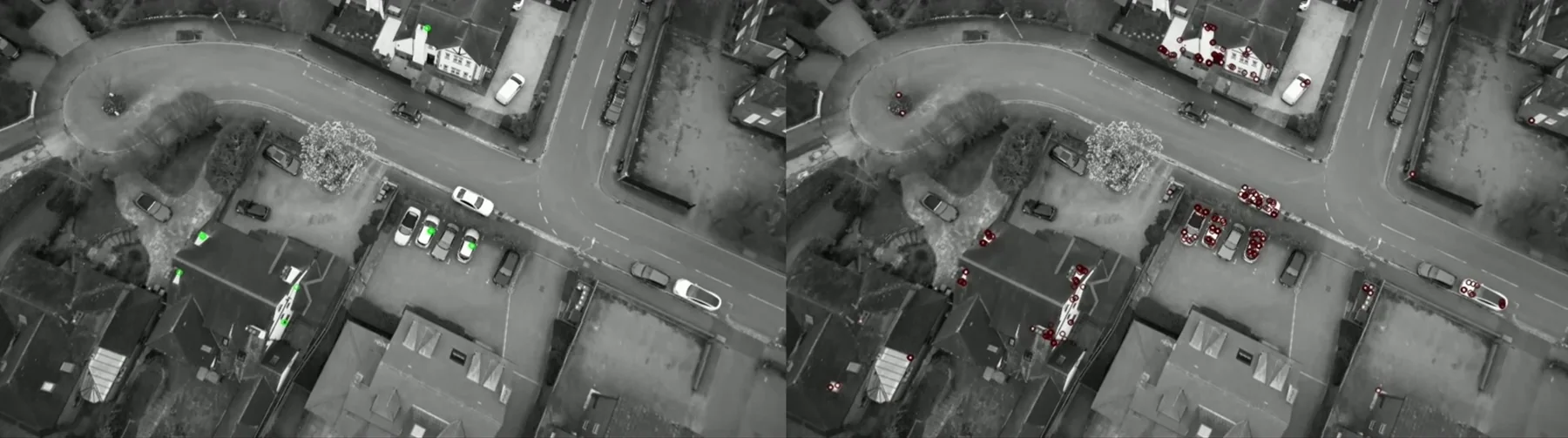
- Detect candidate visual features and score 32×32 grayscale patches with a compact CNN trained on feature survival.
- Adapt the pruning threshold online to maintain a stable set of trackable keypoints.
- Track retained features using Lucas–Kanade optical flow and convert image motion into planar velocity.
- Compensate rotational false velocity using IMU angular rates and range-sensor altitude.
- Fuse camera, inertial, and range measurements using an Extended Kalman Filter.
What came out of it
- Real-time execution above 120 Hz on ground station in the ICRA evaluation.
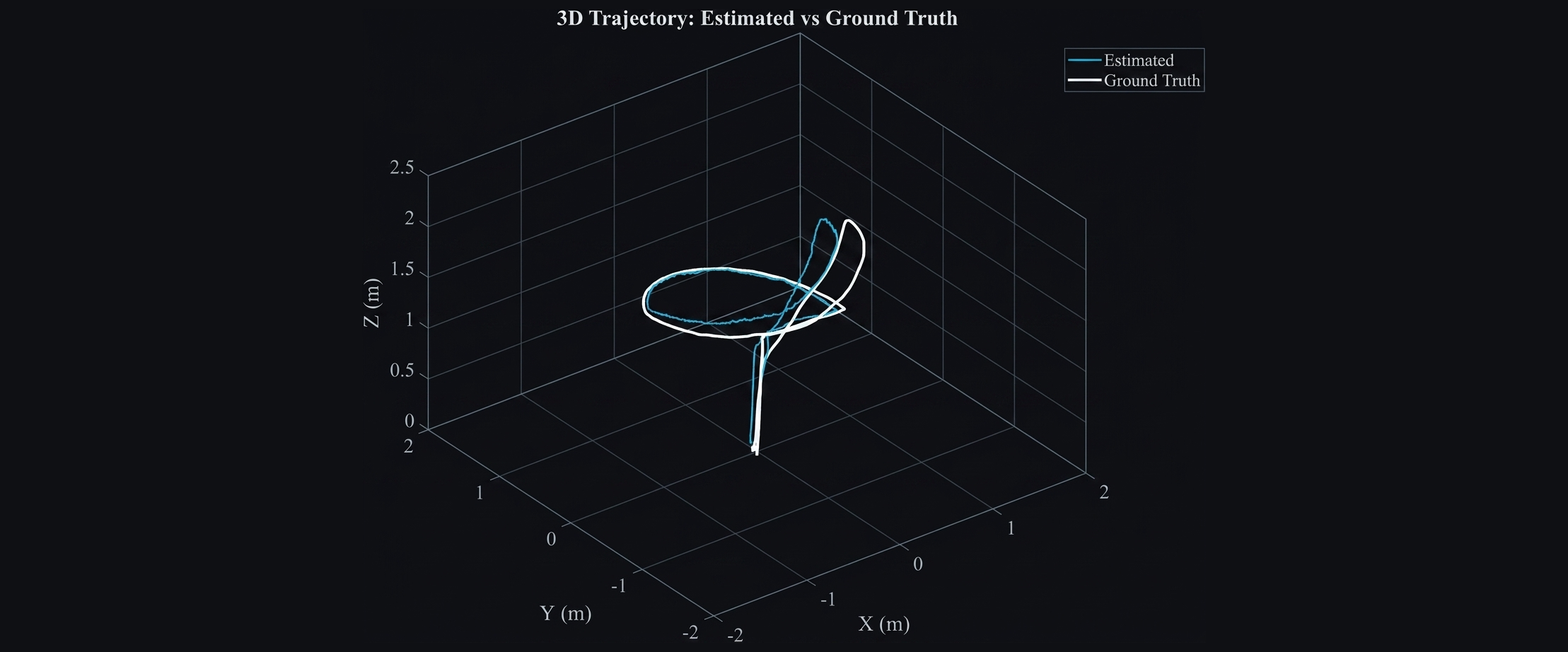
- Approximately 75–80% position-RMSE reduction compared with Fourier-based phase correlation in the reported experiments.
- Approximately 25–30% lower computation time than the FPC comparison.
- Validated on the Quanser QDrone2 with OptiTrack used only as evaluation ground truth.
Experimental evidence
See the system working.
Selected figures from the research and hardware experiments. Click any figure to inspect it at full resolution.
Go deeper
Paper, code, and implementation.
The portfolio gives the engineering story at a glance; the paper and repository contain the implementation details and full experimental context.